Click on the “play” button to hear the diary episode read aloud, and click on the [anno]green tab[/anno] to learn more about a word or phrase.
Find Du Vernet on a map.
[anno]Friday, July 22:{note}In his diary, Du Vernet records himself as arriving at Rat Portage at 8:20 pm on Friday, July 22nd. However, Du Vernet was in Rat Portage on July 15th and 16th, 1898. This seems to have been an error.[/anno]
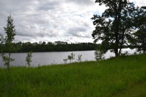
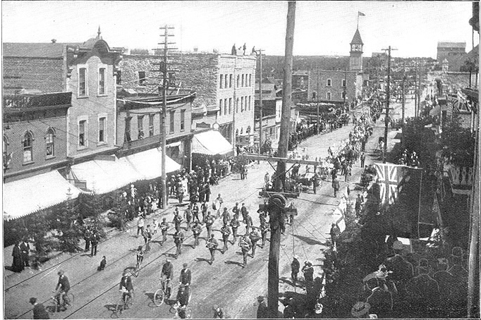
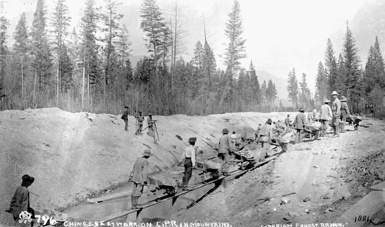
After arriving at [anno]Rat Portage{note}Rat Portage was a town on the northerly tip of Lake-of-the-Woods. Rat Portage began as a fur trade post in the early nineteenth century and was connected to the railway in the 1870s. In 1902, Rat Portage was amalgamated into the city of Kenora. The Obashkaandagaang and Wauzhushk Onigum First Nation Reserves are neighbours to Kenora today. Read more.
[/anno], I called on Reverend [anno]Mr. Page{note}John Walter Bowden Page was an Anglican deacon and patron of St. Alban’s, in Rat Portage. Originally from England, Mr. Page travelled to Canada, and graduated from St. John’s College in Manitoba with a Bachelors of Arts and a Bachelors of Divinity in 1888. In that same year he married Ada Jesse Adams, the daughter of senior Hudson’s Bay Company executive. They had a child together in 1890, in Rat Portage. By 1906, Mr. Page had returned to England. He would later serve as Chaplain to the Canadian Infantry Division during the First World War.[/anno], but he was out, so I took a walk. The light over the harbour was beautiful. Later, while I was reading the newspaper in bed at [anno]Russel House{note} A hotel in Rat Portage.[/anno], Mr. Page knocked at the door. He came in and we had a chat.
Saturday, July 23:
I walked along the railroad track today, turning off right near the bridge over the gorge and the waterfall of [anno]Keewatin{note}A town that neighboured to Rat Portage. Keewatin later amalgamated with Rat Portage and the town of Norman to form the modern city of Kenora.[/anno]–strong waterpower and suction of wind. I went on by road to another rapids area, left at 1 p.m. and arrived at [anno]East Selkirk{note}Du Vernet must have meant that he left by train, as Selkirk is 200 kilometres from Kenora. Read more.
[/anno] 5:20 p.m. No one was there to meet me so I called and asked the Station agent for the road to [anno]Mr. Anderson{note}John George Anderson was an Anglican deacon, priest, and missionary. Mr. Anderson graduated with a Bachelors of Arts from St. John’s College in Manitoba in 1887. He went on to work as a missionary in Lac Seul for a year in 1889. In 1890, he began missionary work at St. Peter’s. Mr. Anderson married Annie Violetta Kirkland, the daughter of a teacher at Long Sault, in 1889, and together they had six sons and two daughters. When Du Vernet met Mr. Anderson, he was living with his family along the Red River, near the St. Peter’s church. Like Du Vernet, Anderson climbed the episcopal hierarchy of the Anglican Church, becoming the Bishop of Moosonee in 1909, and eventually the Archbishop, and the the first Metropolitan of Ontario in 1940. This means that after 1909, Du Vernet and Anderson would have met regularly at synod meetings, where Indigenous schooling–including residential schools–was often discussed.[/anno]’s. He replied that there was a trail through the bushes but added “I don’t think it would be [anno]a very pious thing{note}Perhaps the station agent is poking fun at the missionary here. Du Vernet, however, became very used to tramping through the bush when he took over the role of Bishop of Caledonia. A diocese that the Anglican Church mapped across the territory of the Haida, Ts’msyen, Nisga’a, Gitxsan, and many other Indigenous nations, Caledonia is in what is now called British Columbia.[/anno] for you to try it. You could not find your way. You had better follow the stage road to West Selkirk.” This meant walking twice as far and crossing the river twice.
After tea at the hotel I set out to walk along the old railway bed to [anno]West Selkirk{note}Selkirk is a town north of Winnipeg, divided into an Eastern and Western halves by the Red River which runs through it. The towns of Selkirk originated in the 1870s as an illegal settlement on Indigenous land, fuelled on the belief that the transcontinental railway would pass through the area. Read more.
[/anno], about 2 ½ miles. [anno]The Mackenzie Government intended the railroad to cross the river there; had there not been a change of government then Winnipeg would not be where it now is{note}The Mackenzie government (1873-1878) initially intended to build the railway through Selkirk, although this policy was never definite. In the 1878 federal election campaign, the opposition party, led by John A. Macdonald, promised to re-route the railroad mainline through Winnipeg. After Macdonald won the election, this was indeed the policy that was settled upon.
Read more on Selkirk here.
Read more on the railroad here.
[/anno]. West Selkirk is a flourishing town at the head of navigation on the Red River, 22 miles from Winnipeg and 22 miles from the river mouth.
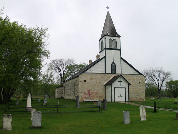
Over the stage road I found a narrow road between a dense growth of bushes, with roads leading off it. If it had not been for the fact that it was more worn than the rest I could easily have lost my way. The mosquitoes were thick, and my veil was of use, but it was very hot. I crossed the river by boat, a ferry with cable for carriages. I came across Mr. Anderson on the Street of Selkirk, with a [anno]mare{note}An adult female horse.[/anno] and a [anno]colt{note}A young male horse.[/anno]. He lives 3 miles down the Red River, near the [anno]Dynevor Hospital{note}Dynevor Indian Hospital was a hospital in St. Peter’s run by the Anglican Church. It first opened in 1896 in the former Rectory, or cleric’s residence, for the St. Peter Dynevor Anglican Church. It was a two storey stone building that overlooked the Red River. [/anno] and opposite St. Peter’s parsonage and Church. The Ferry belongs to the church, and on Sunday it is free to church goers. [anno]Mrs. Anderson{note}Annie Violetta [Kirkland] Anderson was the daughter of a teacher who used to teach along the Rainy River at Long Sault and Hungry Hall. She was married to John George Anderson, and they had six sons and two daughters together. When Du Vernet met Mrs. Anderson, she was living with her husband and their children along the Red River, near the St. Peter’s Church.[/anno] is the daughter of a teacher who taught once on the [anno]Rainy River{note}The Rainy River is a 136-kilometer-long river that forms part of what became the border of Canada and the United States, separating northwestern Ontario from Minnesota. It has historically been an important connecting waterway for both Indigenous and European peoples. Read more.
[/anno] at [anno]Long Sault{note}Long Sault was an Ojibwe reserve at the midpoint of the Rainy River. The site’s Indigenous history goes back millennia and is still the location of ancient burial mounds. The Ojibwe occupied the site since the late eighteenth century and in 1873, under Treaty 3, the Canadian government made the site an Indian Reserve. It remains a painful memory for the people of the Rainy River First Nations that the government forced people from their homes at Long Sault and the other Rainy River Reserves 1914 and 1915, amalgamating all five other reserves at Manitou Rapids. Read more.

[/anno] and [anno]Hungry Hall{note}Hungry Hall No. 1 and 2 were two Ojibwe Indian Reserves situated on the Rainy River’s western mouth at the Lake of the Woods. Like Long Sault, Manitou Rapids and Little Forks, the Hungry Hall reserves came into existence in 1873 under Treaty 3. In 1914 and 1915 the government closed Hungry Hall along with the other Rainy River Indian Reserves, forcibly moving people from their homes to Manitou Rapids, where the government amalgamated the Rainy River Reserves. Read more.
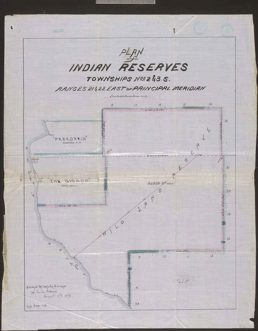
[/anno]. They have four children: Cyril, age 7, John Wilberforce, 5, Macrae, 4, and a baby girl.